091-5758564, 081-6679233 ,02 7035192
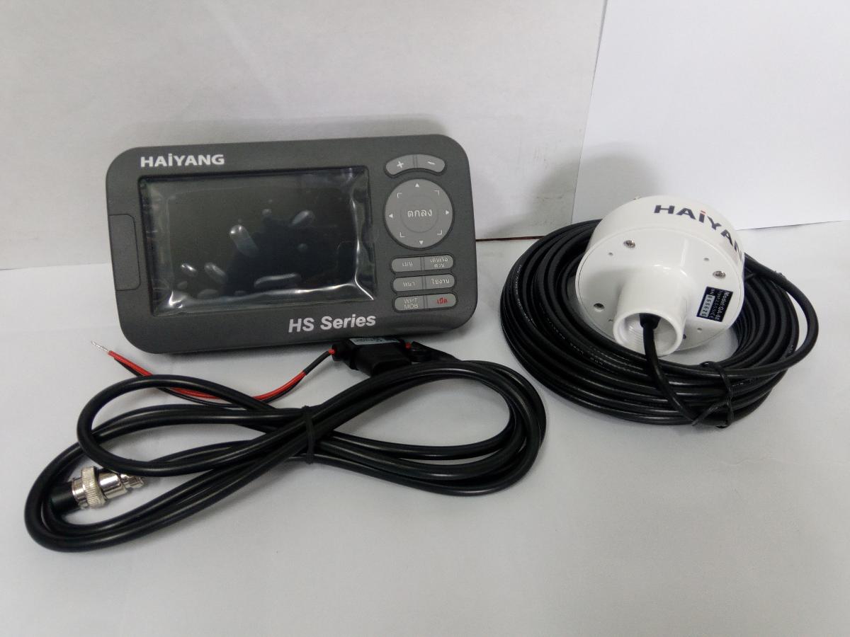
ดาวทียมHAIYANG HS-55C/55CF
CHARPLOTTER
- LED Backing Display - Internal GPS Antenna - Three Chart System - Mindows OS - Outdoor use available - Multi-Language - Various AIS information Welcome HS45C opens a new chapter of performance and integration in vessel naviga5tions system display and management. Whether you are a Cruiser or Sport fisherman or both. HS 45C gives you the information you need. CUATION HS45C Color LCD Charting Systems employs the in proven technology to provide accurate navigation information. The Plotter function of HS 45/55 are totally dependent upon the capability of the navigation source to proves accurate position information. The device is only an aid to navigation. It should be used in used in conjunction with all other navigation accuracy. For safety. Always resolve any uncertainty before continuing navigation. CUATION The performance of LCD displays are degraded by continuous direct exposure to ultraviolet rays. Locate your HS45C Display away from direct sunlight. When not un use. Keep the display covered.
HS-45C
General specification 1. Display Screen: 4.3inch Color LCD with LED backlight 2. Resolution: WVAG (480X272 pixels) 3. Power Supply: DC 12V ̴ 36V (+ -10%) 4W 4. Operating Temperature: -15 ̊C ̴ +50 ̊C 5. Performance Standard: Micro SD, External GPS Antenna GPS Receiver specification 1. GNSS Receiver Capabilities GPS L1 C/A code GLONASS L1OF/ QZSS L1 C/A code Galileo E1B/E1C/L1 2. Number of Channel: 52 channels 3. Horizontal Positioning Accuracy Autonomous 2.5m (CEP 50%) 4. Sensitivity Acquisition -148 dBm Tracking -165 dBm Reacquisition- 162 dBm 5. Nav Update: 1 Hz, 5Hz 6. Support: DGPS, SBAS, (EGNOS, WAAS, MASA, GAGAN) Chart plotter specification 1. Display Method: Mercado Projection 2. Display Mode: True motion/ N/S/E/W up Course up/ Head up 3. Latitude Limits: Between 85 ̊ N to 85 ̊S 4. Map Scale: 0.05nm to 1500nm 5. Map Datum: WGS-84 6. Waypoint: 20,000 points Total of 16 colors and 16 icons are selectable each point with name tag (8 alphanumeric characters) 7. Track Point: 50,000 points (2 types) 8. Route: Max capacity 100 Routes *20 WPTs per each Route. Each with name tags (8 alphanumeric characters) 9. Drew Point: 1,000 point 10. Area Name: 1,000 point 11. Chart Date: HY-MAP (Built-in or External)/ C-MAP 12. Output Date: NMEA-0183 13. Input Date: NMEA-0183 14. Alarm: Arrival, Anchor, XTE, Interval timer, User line Standard equipment configuration List 1. Display unit 2. Protector 3. Fuse & Bolt 4. External GPS ANT 5. Mounting Bracket 6. Power cable 7. Manual 8. Knobs
|




 สินค้าที่เกี่ยวข้อง