091-5758564, 081-6679233 ,02 7035192
ดาวเทียม SAMYUNG
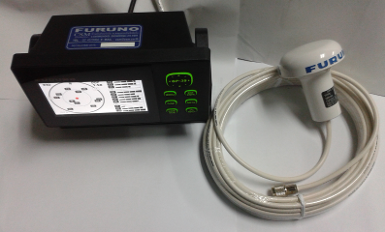
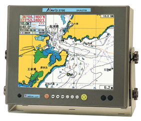
Multi Media GPS PLOTTER + FISHFINDER NAVIS 5100 /
- AUDIO / VEDIO / TV /
- WATCH MOVEIS WITH BULTI – IN SPEAKER
- High Accuracy GPS / WAAS Receiver
- SAMYUNG Digital Cartography & C – MAP Chart
1. High Speed processor
2. C – MAP NT + MAX ™ available
3. Rugged & Water Resistant Frame
4. State of the Art Samyung Chart Technology
5. Dual Frequency Color LCD Fish Finder ( NAVIS
FEATURES
1. Adoption of 10.4 " TFT LCD color display enables better resolution.
2. WGS – 84 geodetic system automatically enables all the geodetic lines to automatic convert.
3. Smooth conversion to other display prevents the map from disappearing while ZOOM IN / OUT.
4. C – MAP NT MAX ™ available.
5. Combination with SAMYUNG autopilot system offers perfect autopiloting.
6. Latest electronic chart with wide range of updated technology offering a variety of information such as slime, rock, depth, trench, EEZ line, underwater cable line and the like.
7. Straight pursuit and ZOOM IN / PUT enabling users to make exact calculation of fish group at the sea bottem ( NAVIS
8. Use of 2 ( two) frequencies in common offering better judgment on minute fish groups. ( NAVIS
SPECIFICATION
|
|
MODEL |
NAVIS 5100 |
NAVIS |
|
CONTENT |
|
|
|
Receiving frequency L1 1575.42 MHz ( C /A CODE )
GPS Receiving channel & tracking satellite 16 channels & 16 satellites
RECEIVER Receiving type Digital 16 channel multi tracking type
Receiving sensitivity – 143 dBm
Accuracy Velocity
0.1 Kt RMS ( HDOP < 2 ) ( SA OFF )
Display
Resolution 640 x 480 PIXELS
Projection Mercator drawing
Effective range below 85 ํ of latitude
Way point 20,000
Effective range
Tracking memory interval 1 sec ~ 60 minute ( 1.01 ~ 9,99 NM ) set - up
Tracking capacity 20,000
PLOTTER Event mark : 2 kinds / Mark capacity : 10,000 points / capacity for user’s drawing of shoreline :
8,000 points 16 land coloring
capacity for user’s marking of shoreline : 1,000 points / capacity For user’s character of
shoreline : 1,0000 points
capacity for tracking marking : 1,000 points / Capacity for memory of destination : 1,000 points
capacity for memory of route : 20 routes ( 20 points routs )
Display mode normal, true – motion , course – up, north – up, head - up, function
Alarm 1)arriving alarm 2)off – course alarm 3)anchor alarm 4)boundary alarm
Temperature Antenna : - 40 ํC ~ + 50 ํC , Main unit : - 10ํC ~ + 50 ํC
Interface SAMYUNG , NMEA0183, FURUNO ( CIF ) , JRC
Power supply DC 12V ~ 36V, 40W
FISH Operating frequency 50 / 200 KHz 600w ( dual )
FINDER Display color 16 colors
(NAVIS Range of depth 5 ~ 1,500M ( depth of water , automatic output power control )
2.5, 5,10,20,40,80M partial enlargement : 5,10,20,40,80M
Shift speed Stop , low, Speed, medium speed, fast speed, super fast speed,
Information depth, schools of fish, water temperature
Display of function Sensitivity, attenuation, transmitting output, time marking , depth,
variable scales , color patters
COMPONENT / DIMENSIONS
STANDARD OPTION
- GPS LCD plotter 1 SET - SD Card
- GPS antenna 1 EA - C- MAP NT + , MAX
- Transducer for ( NAVIS
- Installation materials, spare parts, manual 1
|




 สินค้าที่เกี่ยวข้อง