091-5758564, 081-6679233 ,02 7035192
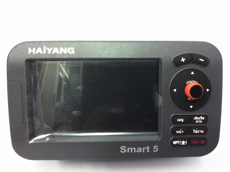
ดาวเทียมHaiyang HD-50C ดาวอย่างเดียวราคา 16,000
 เพิ่มเมื่อ: 2014-09-15 00:28:06.0
 แก้ไขล่าสุด: 2018-04-27 16:45:11.0
 เบอร์โทรติดต่อ: 091-5758564, 081-6679233 ,02 7035192
  อีเมลล์: ChotigaLim@gmail.com LINE ID.nisakornn1
ดาว+ซาวเดอร์50CFในจอเดียวกัน ราคา 23000
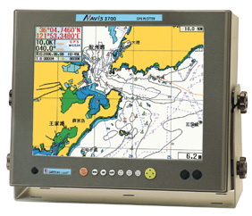
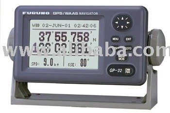
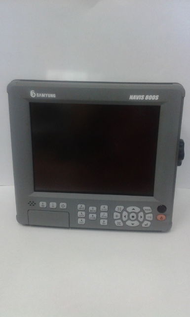
ดาวเทียม HAIYANG HD-50C
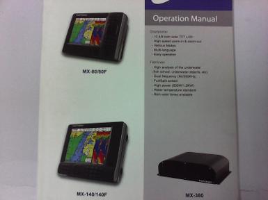
Operation Manual
CHARTPLOTTER
- LED Backlight Display
- Internal GPS Antenna
- Three Chart System
-
- Windows OS
- Outdoor user available
- Multi – language
- Various AIS information
GPS HD-
General specification
1. Display Screen: 5inch Color LCD with LED backlight
2. Resolution: WVAG ( 800 x 480 pixel)
3. Power Supply: DC 12V ~ 36V ( + - 10%)5W
4. Operating: -15º C ~ + 50º C
5. Performance Standard: IMO Resolution ,SC. 112 ( 73 )
6. Option:
GPS Receiver specification
- GNSS Receiver Capabilities
GPS L1 C/A code
GLONASS L1 OF/
QZSS L1 C/A code
Galileo E1B/E1C/L1
2. Number of Channel: 52 channels
3. Horizontal Positioning Accuracy
Autonomous 2.5m ( CEP 50%)
- Sensitivity
Acquisition - 148 dB m
Tracking - 165 dB m
Reacquisition - 162 dB m
5. Nav Update: 1Hz, 5Hz
6. Support DGPS, SBAS ( EGNOS, WAAS, MASA, GAGAN )
Chart plotter specification
1. Display Method: Mercado Projection
2. Display Mode: True motion / N/S/E/W up /Course up / Head up
3. Latitude Limits: Between 85º S
4. Map Scale: 0.05nm to 1500nm
5. Map datum: WGS-84
6. Waypoint: 20,000 points
* Total of 16 colors and 16 icons are selectable each
Point with name tag ( 8 alphanumeric characters )
7. Track Point: 50,000 points ( 2 type)
8. Route: Max capacity 100 Routes
*20 WPT s per each Route. Each with name tags ( 8 alphanumeric characters )
9. Draw Point: 1,000 points
10. Area Name: 1,000 point
11. Chart Data: HY-MAP ( Built-in or External )/ C-MAP
12. Output Data: NMEA - 0183
13. Input Data: NMEA – 0183
14. Alarm: Arrival, Anchor, XTE, Interval time, User line
Standard Equipment Configuration List
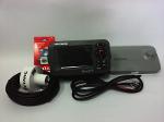
- Display unit
- Protector
- Fuse & Bolt
- External GPS ANT ( option )
- Mounting Bracket
- Power cable
- Manual
- Knops
Standard Equipment Configuration List
1. Display unit
2. Protector
3. Fuse & Bolt
4. External GPS ANT (option)
5. Mounting Bracket
6. Power cable
7. Transducer (option)
8. Knobs
9. Manual
GPS Antenna Installation
For centuries, sailors have searching for a reliable precise method of traveling the world’s waterways. From celestial navigation to the modern navigation techniques as Loran, Decca navigator Omega or Transit Satnav, each system has had its problems with weather, range and reliability. Without doubt, the " Global Positioning System" or GPS for short, is the most significant advance in navigation: it fives the navigator a position 24 hours a day, 365 days a year I any weather condition. GPS is a satellite based navigation system which provides suitably equipped users with accurate e position, velocity and the time data. Originally the GPS, developed by the U.S. Department of Defense, was conceived for military purposes, but now it is used in a host of civilian applications. GPS navigation uses satellite signals to determine your position in relation to a set of satellite orbiting the earth. The GPS constellation of satellites continuously send radio signals, containing the precise position for each satellite back to earth. By knowing the position of 3 or 4 satellites and calculating various time differences between transmitted signals, the GPS receiver can determine its present anywhere on earth, and thanks to continuous updates, calculate speed and course information.
|




 สินค้าที่เกี่ยวข้อง